We Meet Client's Requirements
We strive on becoming one-stop solution centre to help our clients to excel in their business
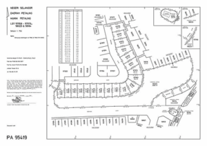
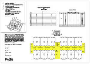
Cadastral Survey
Provides Cadastral Survey works includes preparation of Title Survey Plan for Amalgamation, Partition and Subdivision
Engineering Survey
Provides:
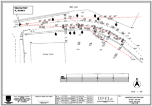
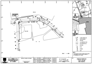
- Routes survey (highways and road alignment), details (road, etc.), pipelines, building and Volume (cut & fill), topographical, underground utility, aerial photography, hydrographic, LiDAR and UAV.
- Infrastructure development:
Survey for construction sites (other engineering projects)
Hydrographic Survey
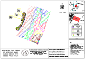
Bathymetric is the study of underwater depth. A bathymetric map usually shows of terrain as contour lines and may additionally provide surface navigational information. In short, bathymetric chart is final product of hydrographic surveying project. Provides other services required by client such as tidal observation, waves, salinity and currents.
Geographical Information System
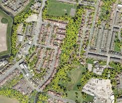
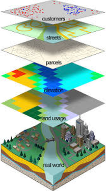
GIS is a method of digital mapping and it links data to its geographic location. GIS services such as analysis results in better decision making because it helps to answer questions and solve problems related to features be required. GIS data can be visualized through maps, it can make complex information easier to understand.
Remote Sensing
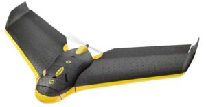
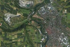
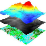
Airborne survey work by using LIDAR (Light Detection and Ranging), UAV and Aircraft.
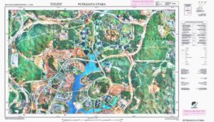
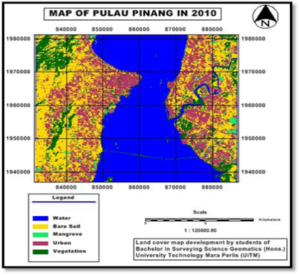
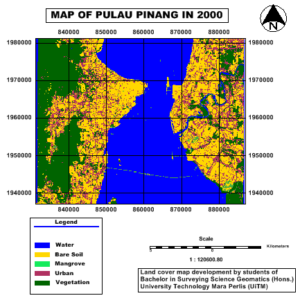
Provides Photogrammetric mapping. Satellite is the artificial object which has been placed and move into orbit. Satellites are used for a large number of purposes and related with image capturing. Figure beside shown the unsupervised classification map between year 2000 and 2010 from satellite image.
Underground Utilities
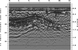
Our services for utility survey provide and support public needs such as water, electricity, gas, telephone, sewerage and many others which located below the ground surface.
Provides several sources of utility information such as plans, maps, drawings, or sketches.
Topographic Survey
Topographic surveys are the basis for the engineering, planning, and development plans. It is critical that the information shown on the plans be correct and complete. It is also very important to understand the intended use or accuracy requirements needed by the user of the plan along with the size of the project. This information can be useful to determine whether the project should be collected by aerial mapping of ground run surveys. If the plan is to be used for engineering design then the field survey will likely include pavement sections and utility locations.
AS-BUILT SURVEYS
- Alignment
- Profile of grade
- Location of drainage structures
- Correct dimensions of structures
- Orientation of features
- Earthwork quantities ( occasionally )
ROUTE SURVEYS
Route surveys are most commonly used for levees, stream channels, highways, railways, canals, power transmission lines, pipelines, and other utilities. In general, route surveys consist of:
- Determining ground configuration and the location of objects within and along a proposed route
- Establishing the linear or curvilinear alignment of the route
- Determining volumes of earthwork required for construction
BRIDGE SURVEYS
- Direction facing bridge, whether upstream or downstream
- Length of bridge, or stationing if established
- Distance from center to center of piers or bents
- Dimension of piers or pilings including batter
- Low chord (or steel) elevation over channel
- Profile of bridge deck, roadway, handrail, etc
- Sketch of plan of bridge, when required, showing deck dimensions including girder size and spacing
- Sketch of typical bent, when required, including cap size
- Sketch of wingwall, when required
- Digital photographs from various aspects
- Material of which constructed (wood, steel, concrete, prestressed concrete, etc )
- Type of construction, such as truss, trestle, or girder
- General condition of bridge
- Alignment of bridge to channel, whether normal or at angle ( may be shown on plan sketch )
- Alignment of piers or bents, whether normal or at angle
- Composition of bents may be indicated on sketch
- Designation of highway, road, street, railroad, etc.. utilizing brigde—describe surface, if road.
UAV FOR MAP UPDATING AND TOWN MAPPING
• Rapid updating of large scale orthophoto maps to complement cadastral and utility databases
• Map updating for urban and suburban to support rapid production of town maps
• Providing geospatial support for National Humanitarian and Disaster Relief (HADR) operation
• Generation of Rapid Response Products for defence geospatial support in the field
